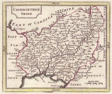
| Method | Copper engraved |
| Artist | Seller, John and Grose, Francis |
| Published | c. 1787 |
| Dimensions | 122 x 147 mm |
| Notes |
From Francis Grose's The Antiquities of England and Wales. John Seller, hydrographer to Charles II, James II and William II, cartographer and instrument maker, published an attractive series of county maps Anglis Contracta in 1694. The maps wer re-printed in The History of England and Camden's Britannia Abridg'd. Over 80 years later the plates were used for Francis Grose's The Antiquities of England and Wales. |
| Framing | unmounted |
| Price | £15.00 |
| Stock ID | 19268 |

